- publisher: Helena, Mont. : [s.n.]
- creator: Boner, F. C
Omang, R. J
Geological Survey (U.S.)
Montana. State Highway Commission
United States. Bureau of Public Roads
- contributor: Omang, R. J.
Geological Survey (U.S.)
Montana. State Highway Commission.
United States. Bureau of Public Roads.
- Keyword: Floods Montana.
drainage. trt
- years: 1967.
- pages: 23 p. (some folded) :
- notes: "Prepared in cooperation with the Montana State Highway Commission and the U.S. Bureau of Public Roads."
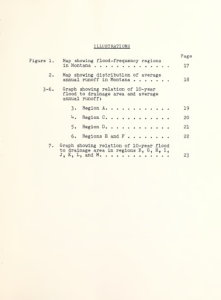
- description: A method is presented for determining the magnitude of floods with 10- and 25-year recurrence intervals from drainage areas of less than 100 square miles in Montana. Curves express the relation of the 10-year flood to basin characteristics. In most of the mountainous areas of Montana, size of drainage basin and average annual runoff were found to be important factors in determining the magnitude of the 10-year flood. Only sixe of drainage basin was used as an independent variable in the remainder of the State. Ratios between the 25-year flood and the 10-year flood are given for each of the 13 regions so that the 25-year flood can be obtained by multiplying the 10-year flood by the appropriate ration. The relations are based on 5 or more years of record at gauging stations on streams that are virtually unregulated.
- download: pdf file
This photo is copyright protected

